Maps
![Lib62: St. Louis city map and adjoining municipalities Lib62: St. Louis city map and adjoining municipalities](http://omeka.wulib.wustl.edu/omeka/files/fullsize/e6c4e3a2437e83596e490c7eeac2036d.jpg)
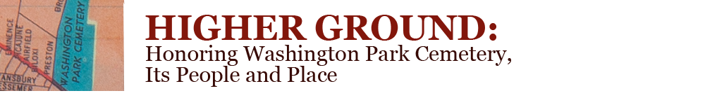
Map showing Washington Park Cemetery and vicinity before the construction of interstate highways.
![Lib64: Automobile road map of St. Louis County Lib64: Automobile road map of St. Louis County](http://omeka.wulib.wustl.edu/omeka/files/fullsize/020c41640dc00cb2214ec4355b6ad121.jpg)
Map showing major roads in the St. Louis metropolitan area before the appearance of Washington Park and other cemeteries along Natural Bridge.
![Lib63: Greater St. Louis Lib63: Greater St. Louis](http://omeka.wulib.wustl.edu/omeka/files/fullsize/1f8dd2d80464501328f269d6cb8339c3.jpg)
Washington Park Cemetery appears on Natural Bridge, approximately halfway between Normandie country club and Lambert St. Louis Field.